Beste reistijd voor Sri Lanka
Een praktische kijk per maand op weer en routeopbouw, en waarom de timing van west, zuid en bergland zwaarder weegt dan één landelijk antwoord.
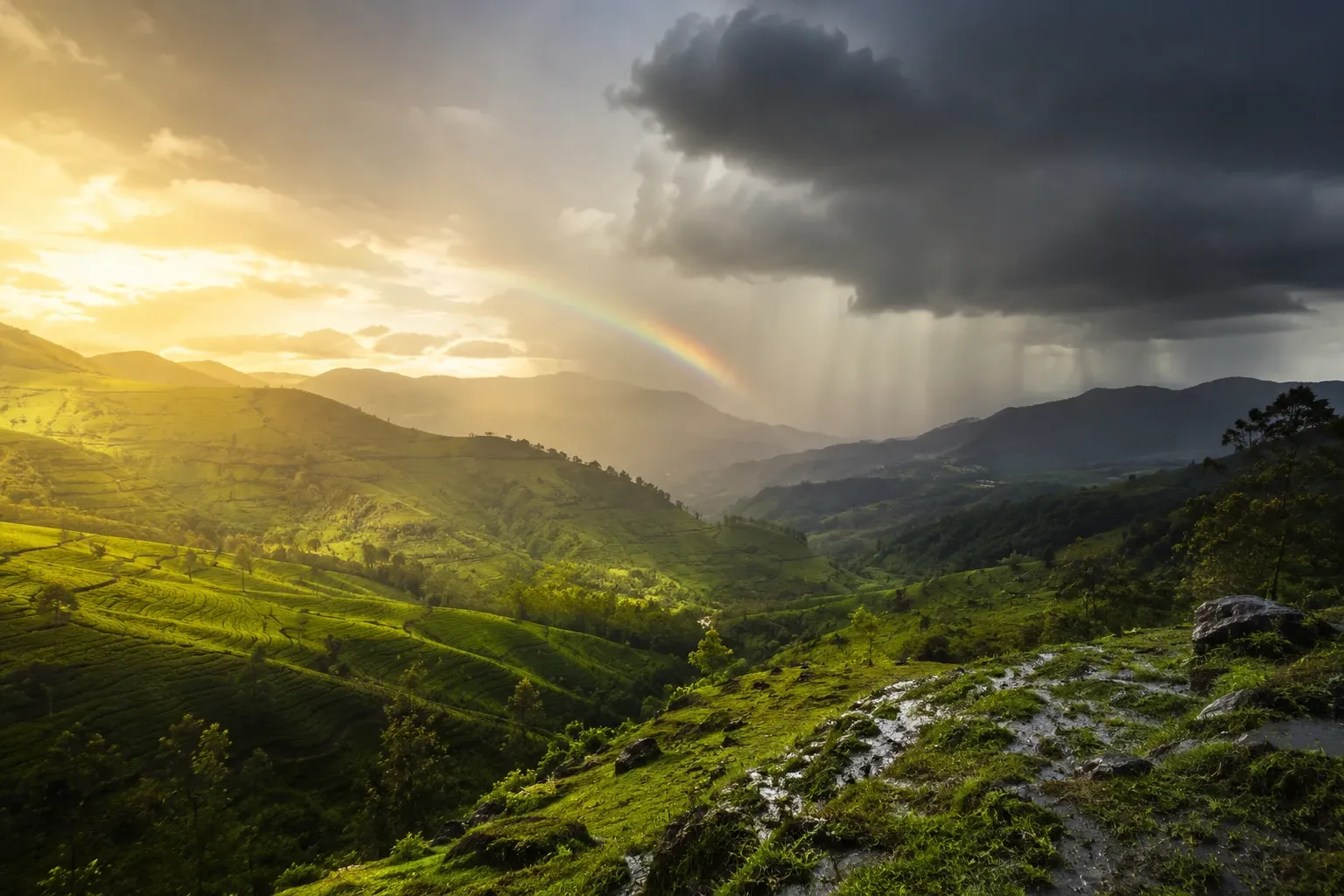
Sri Lanka is een van de makkelijkste landen om verkeerd te beschrijven als je het terugbrengt tot één «beste maand». Het eiland kent meerdere weerpatronen, en de juiste timing hangt ervan af of uw route langs de kust gaat, cultureel is of rond het berglandschap is opgebouwd.
Denk in regio’s, niet in één seizoen
Voor de west- en zuidkust telt meestal het drogere venster tussen late herfst en vroege lente. Voor de oostkust geldt een andere logica. Een goede privéroute behandelt seizoen als een ontwerpvraag van de route, niet als een algemene reistip.
Cultuurreizen vragen vroege starts
Plekken als Sigiriya en Polonnaruwa zijn niet op hun best door één magische maand, maar omdat je ze vóór de middaghitte beklimt of bewandelt. Praktische planning telt hier even zwaar als weerlabels.
Zicht in het bergland verandert het karakter van de route
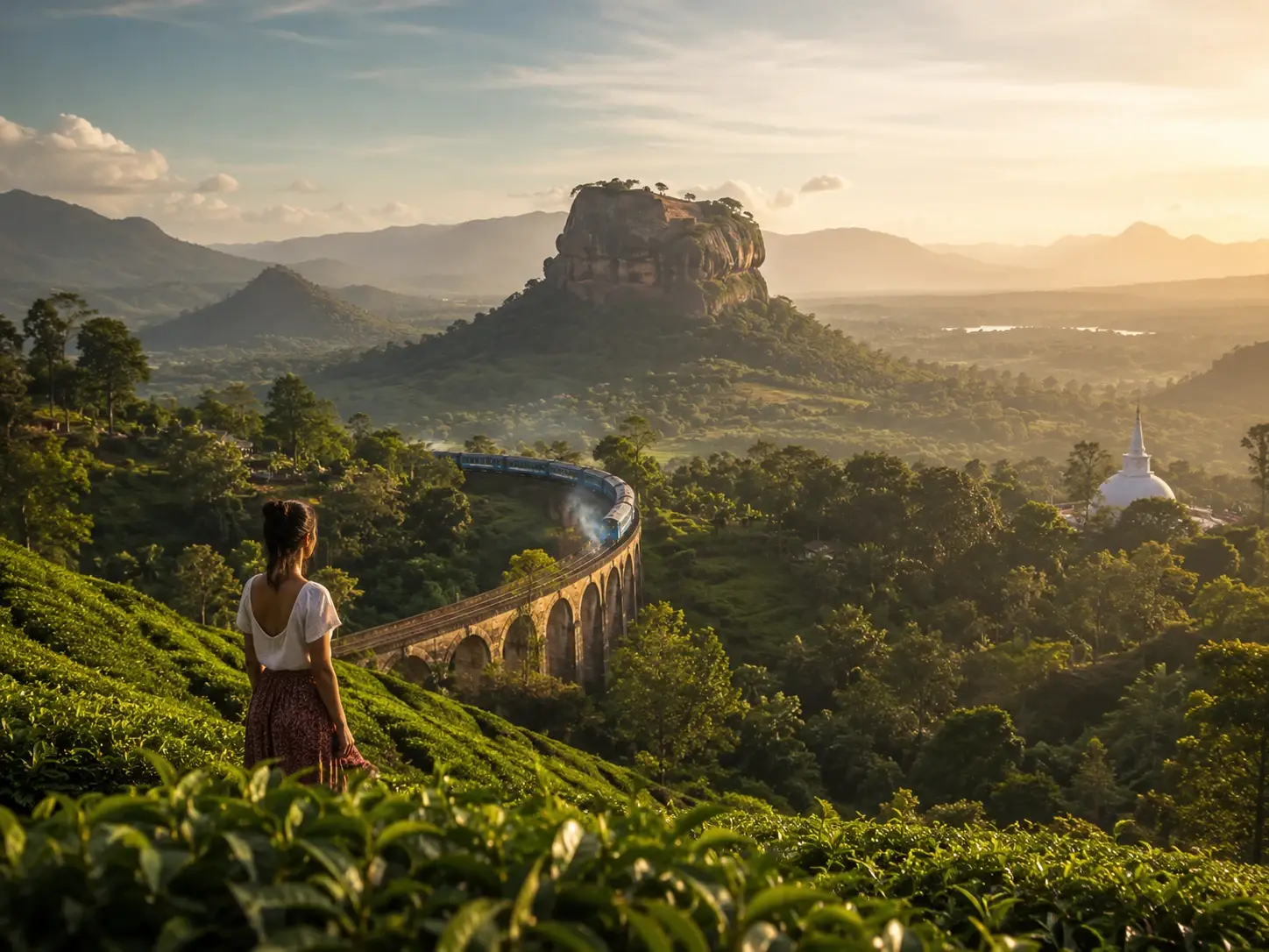
Ella en het theegebied komen het best tot hun recht als de uitzichten vanuit de trein en de ochtenden helder blijven. Is de bergetappe cruciaal, dan hoort dat de volgorde en het tempo te beïnvloeden.
Best periods by activity
Southwest beaches and watersports: December to February, which official guidance describes as the peak season for the southwest coast, with clear skies and calm seas. East coast beaches: May to September. Whale watching from the south coast: the same calm-sea window as the southwest beach season, December to February. Surfing: follows the sheltered coast rather than the calendar — the south coast works during the northeast monsoon and Arugam Bay during the southwest monsoon, so there is a surf season somewhere in almost every month. Wildlife and safari: the drier months in each park’s own region, since animals concentrate around remaining water; parks occasionally close for maintenance, so confirm before fixing dates. Cultural sightseeing: possible year-round, with March and April officially recommended. Honeymoon travel combining hills and coast: December to April, when the southwest coast and the hill country are both in reasonable shape at the same time.
Which route shape suits which month
December to March favours the classic loop: Cultural Triangle, hill country, then finish on the southwest coast — the arrangement most first-time itineraries use, and the reason those months are busiest. April is a good cultural and hill-country window with beach time still viable but less certain. May to September flips the ending: the same inland route, but finishing on the east coast at Trincomalee or Arugam Bay instead of Mirissa. October and November are the hardest months to plan around a beach, so they suit interior-weighted routes — tea country, wildlife, cultural sites — where rain is an inconvenience rather than a spoiled day, and they bring the year’s thinnest crowds and softest pricing.
Practical advice that matters more than the month
Start early. Sigiriya and Polonnaruwa are far more pleasant, and considerably safer in the heat, before mid-morning; this makes more difference to how a cultural day feels than which month you picked. Expect rain in bursts. Sri Lankan rain is usually intense and short rather than persistent, so a wet forecast rarely cancels a day — it reshapes it. Build slack around the hill-country train. It is scenic and it is slow, and treating it as a fixed appointment is how itineraries go wrong. Watch the crowds, not just the weather: December and January are peak on the southwest coast, and the same beach in November is quieter and cheaper for a modest weather trade-off. Finally, do not try to see both coasts properly in one week — the island is small on a map and slower on the road than it looks.
Sources, and what this guide does not claim
Seasonal information here is drawn from Sri Lanka Tourism’s official weather guidance at https://www.srilanka.travel/weather, which sets out the four seasons, their months and the region each favours. Monsoon timing is a pattern, not a schedule: the boundaries shift by weeks from year to year, and a wet month can deliver a run of clear days. This guide deliberately avoids month-by-month temperature figures, national park closure dates and any promise of surf or whale sightings, because those either vary annually or are not published in a form worth quoting. Check a forecast close to travel, and treat the table as a way to choose a region rather than a guarantee.